

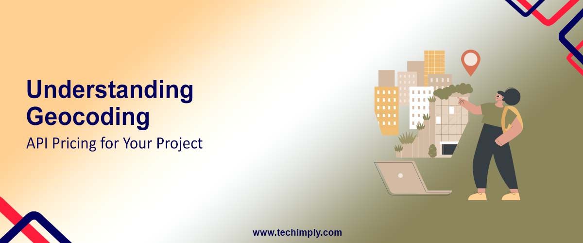
When integrating location-based services into your application, it's essential to understand geocoding API pricing to optimize your budget and make informed decisions. Geocoding services have a cost that can vary according to several factors, such as usage, volume of data, and extra features. This article will help explain the different facets of geocoding API pricing so you can make sense of the options available, control costs, and get the most out of your solution.
Factors that Determine the Price of Geocoding API
There are several factors that impact geocoding APIs pricing. Whether you are a startup, an enterprise, or even, an individual developer, knowing these factors will help you plan your costs because there are no loopholes.
The price of a Geocoding API is influenced by factors such as usage limits, data accuracy, response time, and integration capabilities, which are often streamlined through API management software for better scalability and cost efficiency.
Its cost per request will scale massively, and primarily, it depends on the max number of geocoding requests you make. If your app is frequently looking up addresses and/or dealing with large amounts of data, this can add up quickly. Most geocoding APIs have a billing cycle that they charge against depending on the number of requests you make. The more you use the more you pay.
For example, logistics and delivery applications or even real estate-related platforms may require up-to-date geolocation data as a service while the utilization may be every month at a heavy price. However, certain providers will offer lower per-request pricing which can drive your pricing down substantially if you believe you are going to be doing a lot of usage.
The price can also vary by geographical area and how granular you want to be. Although some geocoding APIs can provide coverage for the globe, obtaining high-precision data in certain parts of the globe would probably be even more expensive. If you want hyperaccurate data in populous metropolitan areas or niche areas, for instance, you’d better be ready to fork over to get it.
Geocoding services including address normalization, data enrichment, and custom attributes often are more expensive due to the additional processing involved. Striking an in-situ balance between precision and costs is crucial, especially in precision geolocation-driven applications like emergency services, autonomous driving, etc.
In addition to address-to-coordinate conversion, several geocoding APIs provide extended capabilities such as reverse geocoding, batch processing, autocomplete capabilities, and interconnection with other location-based services (such as distance calculations or routing). These additional features may provide tremendous value, while also significantly raising the overall cost.
Some providers roll these features into higher price tiers, so it’s worth seeing if you really need them up front. Being specific about what you need will help you avoid paying for services you might not use.
How Usage Limits Fly With Rate Caps Affect Your Billing
Understanding rate limits and usage caps. Abstract: All geocoding API providers impose specific usage limitations to discourage over usage and provide fair access of their services. These limitations can have a direct impact on the costs and performance of your project.
Rate Limits and Quotas
Most geocoding APIs impose rate limits that restrict the maximum number of requests you can make per second, minute or day. Exceeding these limits could result in throttled performance, additional fees or even temporary suspension of access. If your own application is subject to bursts of traffic, you may have to figure out the impact of rate limits, for example.
It would require vigilance to monitor your api usage to avoid unanticipated charges. Most providers have dashboards or usage alerts that can help you stay under your plan’s limits. That way you’re not accidentally succombing to your quotas and faced with bills that exceed what you were expecting to pay.
Billing Tiers and Overages
Typical geocoding services would have an offering where various levels of some usage would be available for various prices. Free Plans typically have a very low usage cap and limited functionality — whereas Premium Plans have less stringent limits and more features.
Free Plans tend to have a low usage cap and limited capabilities — while Premium Plans come with less restrictive limits and more features.
If you are over your plan limit, you could incur additional usage or overage charges. These fees can be many times higher than the base cost per request, so selecting an overall plan that fits your predicted usage is key. If you regularly go beyond your plan’s limits, it may be cheaper to increase to a higher tier than to pay for overage charges.
How To Save Money by Minimizing Number of APIM Calls
If not monitored appropriately, geocoding API costs can add up quick, fast, and in a hurry. Sorry About That, If You Are Wondering Therefore, Here are few ways you can Limit Your API Usage and save Money
Cache Frequent Requests
Caching results for repeat requests for particular addresses is one of the simplest methods of cutting down on cost. You can store already geocoded addresses in a local database/cache instead of making a new API call for every user request. This technique can drastically reduce the number of calls you make to the API, especially if your application is repeatedly querying the same data.
Implement Batch Processing
If your application needs to geocode large quantities of data, look to batch processing as opposed to sending a request for individual items. Some APIs also support bulk geocoding, in which you can submit thousands of address records at once in a single API request. In many cases, this is a more economical way to do things than to make multiple single requests, especially if you are handling an extensive volume of data at the same time.
Employ Rate Limiting and Throttling Approaches
Implement rate limits and throttling mechanisms in your application to prevent surprise usage spikes. This enables you to manage the rate of API requests so that you remain under your quota and minimize the chance of being charged additional fees. Finally, if your provider gives great prices during off-peak hours, you can schedule all non-urgent geocoding tasks to come in when demand is low to minimise costs.
Optimize Request Parameters
Limiting your API requests to the fields you need to use can further reduce charges. For example, if you only need coordinates no metadata, change your request parameter to get only the data you need. Minimizing the size of the payload in each request will potentially reduce processing time and related costs.
How To Select Price Plan For You
Choosing the right pricing plan is important to help minimize costs of your Geocoding API. Here are some things to consider as you weigh your options.
Evaluate the requirements of your project
Be sure to evaluate your project geocoding needs before you get locked into a pricing plan. Think about things like anticipated request volume, the geographic areas you're targeting, and other features that need to be included. When you’re starting out, a cheaper, lower-tier plan with limited features may be all you need. You can switch to a more robust plan as your project grows.
Compare Pricing Models
Each provider has its own pricing model, like pay-as-you-go, monthly subscriptions, or enterprise plans that price upon request. Projects with variable usage patterns might work better with a pay-as-you-go model, whereas a subscription plan could be cheaper for consistently in-demand applications.
It’s also a good idea to scout around for pricing models that offer discounts for longer-term commitments or higher usage volumes. Other providers have trials and free tiers to help you test things before spending any money.
Use Cost Monitoring Tools
Use cost monitoring tools and create alerts for your API usage to avoid surprise bills. Most providers offer a dashboard that lets you track your usage in real time and predict your future costs based on historical data. These will help you keep your budget in compliance and adjust your strategy in whichever way you need.
Negotiate Custom Plans
If you are an enterprise user, or think you might be using a large volume of geocoding services, try to negotiate a custom plan in your geocoding provider. It becomes very easy when it comes to discounts — most companies would be ready to present you with a special offer or solution that has been designed just for the big consumer to develop long-term relationships. This can also be a more budget-friendly option for businesses with specific geolocation requirements.
Knowing how geocoding API pricing works is vital when trying to optimize your project costs and getting the best deal from the service provider you pick. Next, he recommended checking out things like data volume, usage limits, and additional features to optimize your API calls as it relates to cost. Using strategies such as caching, batch processing, and rate limiting will also help you manage costs.
At the end of the day, the correct plan really does come down to understanding the unique needs of your project. If you choose a pay-as-you-go model, subscription plan, or custom enterprise solution, a careful plan plus ongoing monitoring are essential for controlling your geocoding costs.